Part 3: Map breakdown
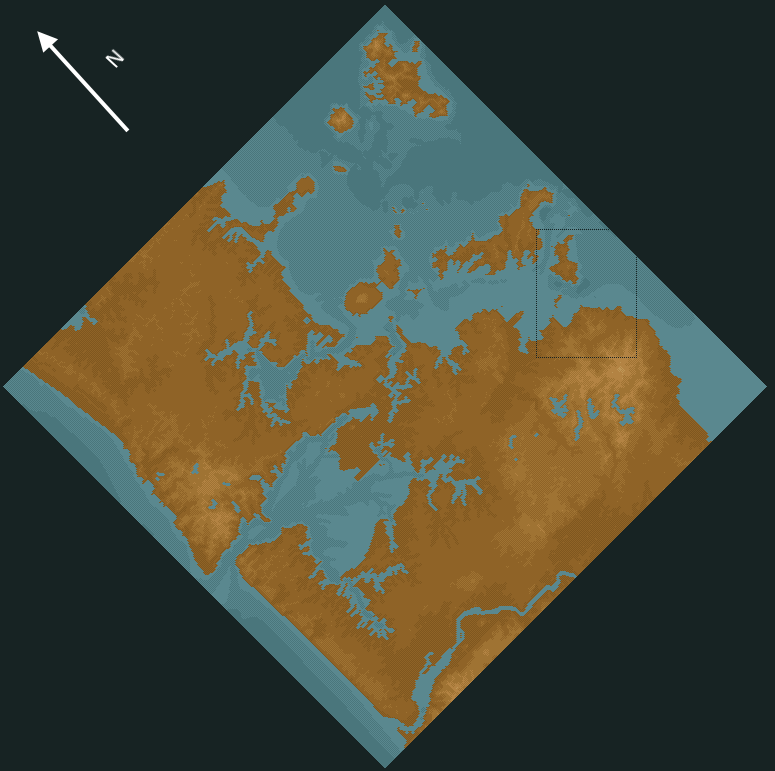
Alright, the last thing to go through before we start is a proper rundown of the map so we can plan some projects. The map roughly represents the Auckland city limits and is about 90km x90km in real life.Here's the in-game terrain map.

Luckily, I have a map from before I put the trees on which shows the hills better:
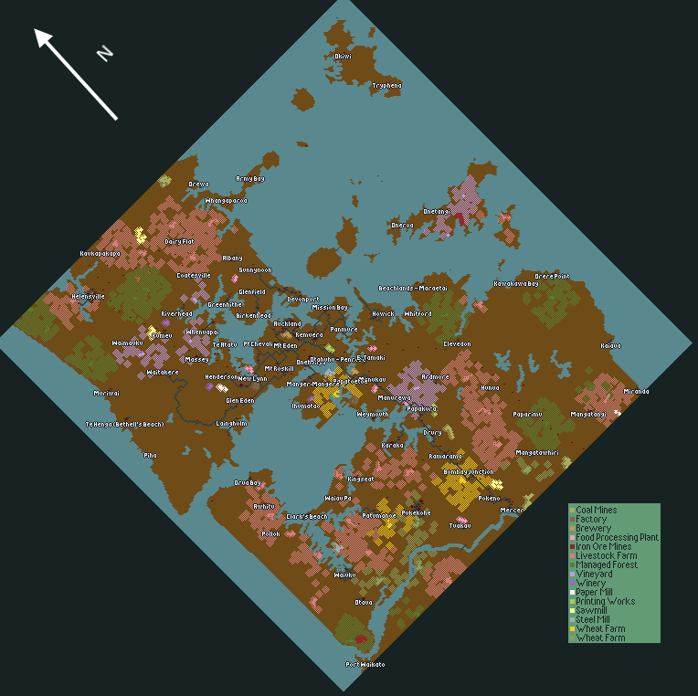
Here's the industry map. Note that there is no difference between the two types of wheat farm - it was an oversight on my part where I selected both the UK and US styles during scenario creation.
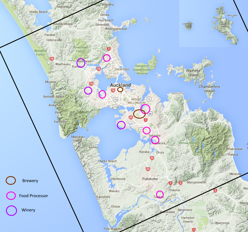
One reason why I chose a real life area is because we can grab a real map when necessary. If you find the in game map a little crowded, here's an industry by industry breakdown. First up, here are the towns that are big enough for a station that accepts passengers.

Only two towns - Auckland CBD and Pukekohe - will accept mail and food at the moment. Auckland CBD is the only town on the map that accepts goods.
Here's wood and paper. The arrow represents large paper mills in the central North Island. In game, it's just a paper mill on the edge of the map, nothing special about it.

Iron, Coal and Steel.

There are a lot of places that will accept wheat, livestock and grapes. I haven't shown the farms themselves because there are so many of them. Most of the wheat farms are on flat land to the South, vinyards are to the Northwest, and the livestock farms are all over.
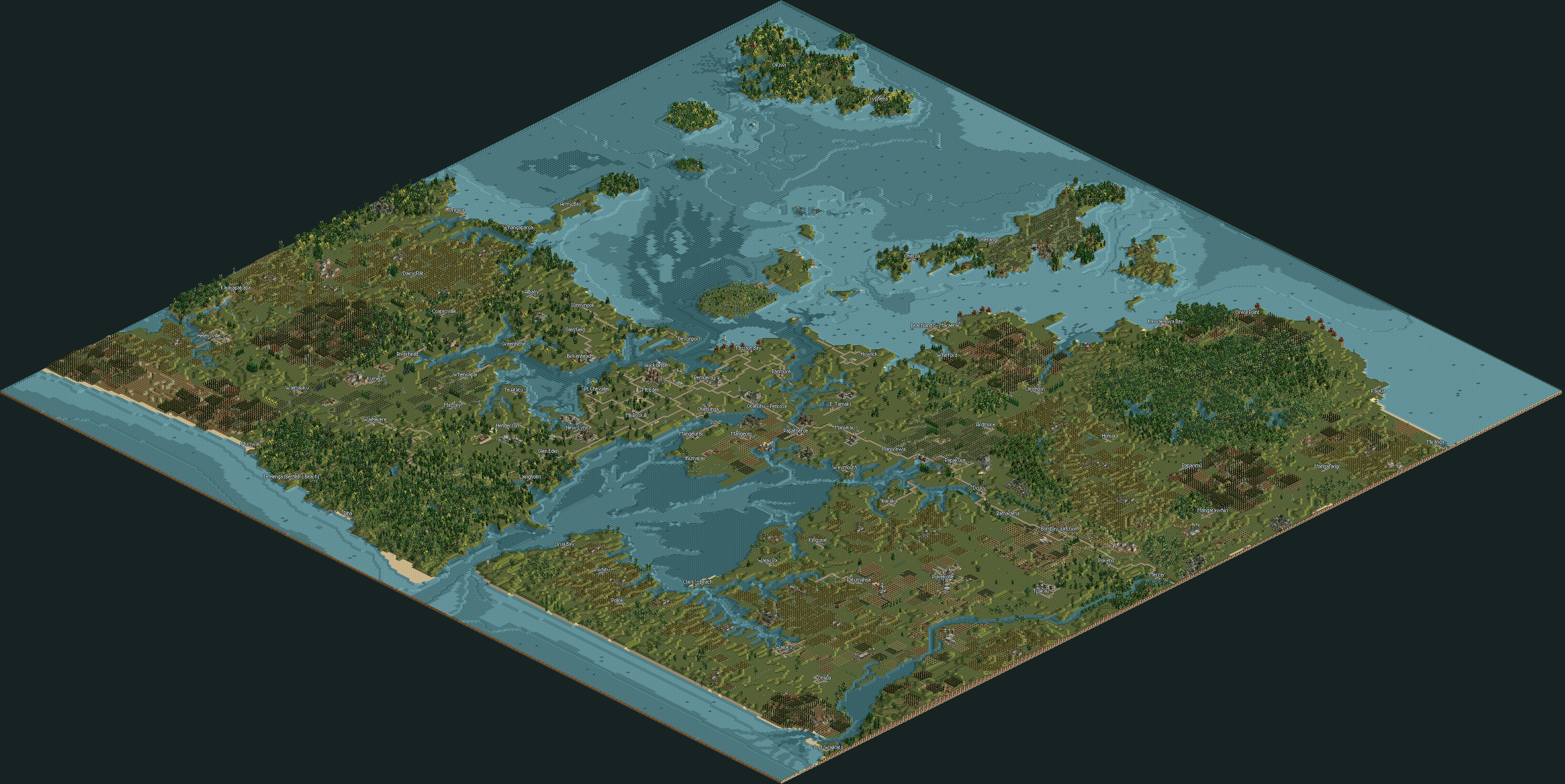
Link to full scale (enormous) map
Hopefully that makes it a bit easier to plan some routes. Where shall we focus on?
Here's the challenges received so far:
- Each railroad must cross two roads
- Build a massive trunk and branch rail line
- All rail must be interconnected
- Develop the Island towns
- Turn Devonport into a sprawling, polluted hellhole of the pacific
- Tiles can only be moved 1 level per project